
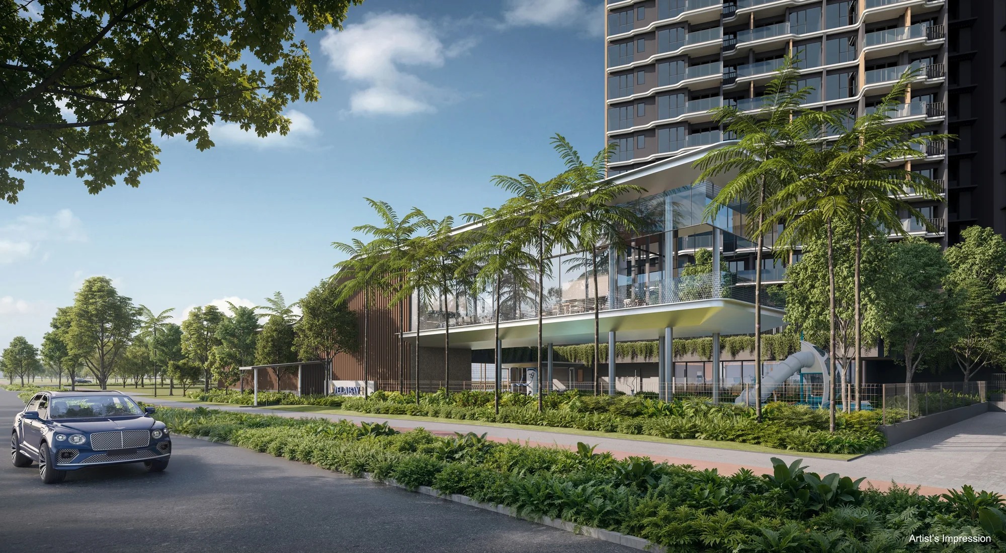
 Artist’s impression
Vela Bay was planned around a railway station. Bayshore station on the Thomson-East Coast Line sits at the edge of the site, and one of the development’s three side gates opens towards it. This guide sets out the lines, the roads and the airport run from the towers. Distances are straight lines on OneMap from the site.
Bayshore Station at the Doorstep of Vela Bay
Bayshore station (TE29) has three exits. Exit 1 is about 30 metres from the site and Exit 2 about 70 metres, and the station itself is about 175 metres away, so the platform is a lift ride and a short walk from home. The developer’s briefing gives the station as within about 100 metres and two minutes on foot, and the site plan marks Side Gate 2 as the gate to the MRT.
From Bayshore, the Thomson-East Coast Line runs west along the coast through Siglap, Marine Terrace and Marine Parade, past Gardens by the Bay to Marina Bay and Shenton Way, and then north through Orchard and Stevens to Woodlands, so the financial district and the shopping belt are reached without a change of train.
Bayshore station, Exit 1.
About 30 metres from the site in a straight line, on the Thomson-East Coast Line to Marina Bay, Orchard and Woodlands.
Other Stations near Vela Bay
Eastward, Bedok South station (TE30) is about a kilometre from the site and Sungei Bedok station about two kilometres away, where the line meets the Downtown Line. The developer’s brochure notes that the Thomson-East Coast Line will continue to Changi Airport, including the future Terminal 5, giving residents a direct rail link to the airport. On the East-West Line, Tanah Merah and Bedok stations are each about 1.8 kilometres away.
| Place | Straight line from the site |
|---|---|
| Bayshore MRT, Exit 1 (TE29) | about 30 m |
| Bayshore MRT, Exit 2 | about 70 m |
| Bayshore MRT station | about 175 m |
| Bedok South MRT station (TE30) | about 1.0 km |
| Siglap MRT, Exit 3 (TE28) | about 1.1 km |
| Upper East Coast Bus Terminal | about 1.4 km |
| Tanah Merah MRT station (EW4) | about 1.8 km |
| Bedok MRT station (EW5) | about 1.8 km |
| Sungei Bedok MRT station (TE31) | about 2.0 km |
Measured on OneMap (SLA) from the site; walking routes are longer.
Driving from Vela Bay
The East Coast Parkway runs along the southern edge of the site, west to the city and east to the airport, and Upper East Coast Road lies about 320 metres to the north, with the Pan Island Expressway beyond. The developer’s briefing gives Changi Airport as about 14 minutes by car and Marina Bay Sands about 15 minutes, and its brochure puts Changi Business Park about six minutes away and Suntec City about twelve, all as indicative figures.
Buses, Cycling and the Car-Lite Plan at Vela Bay
Upper East Coast Bus Terminal is about 1.4 kilometres from the site. The developer’s briefing provides 258 car park lots for 515 homes, about half the number of homes, with 129 bicycle lots, in keeping with the car-lite plan for the Bayshore precinct, and the brochure shows a park connector at the doorstep leading to East Coast Park. The location page gives every distance from Vela Bay.
Book a Showflat Appointment for Vela Bay
The Sales Concierge sends the price list on request, the homes still available and the e-brochure for Vela Bay. Showflat viewings are arranged by appointment through the Sales Concierge.