
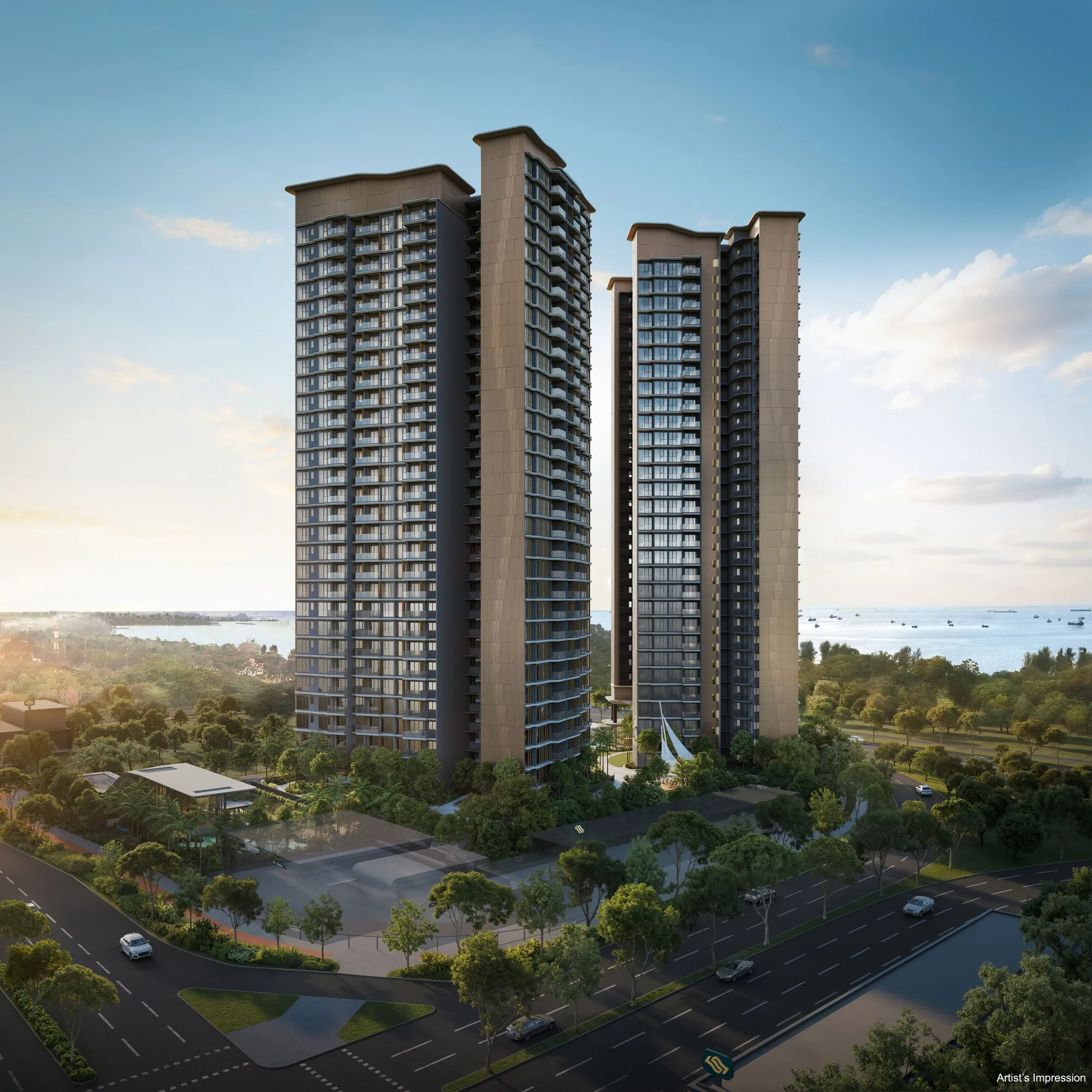
 Artist’s impression
Vela Bay stands at 1 and 3 Bayshore Walk, Bayshore, District 16. Bayshore MRT station is at its doorstep, and East Coast Park lies across the expressway.
Vela Bay Location Map
Map centred on the site (1.31207, 103.94114). Open Vela Bay in Google Maps.
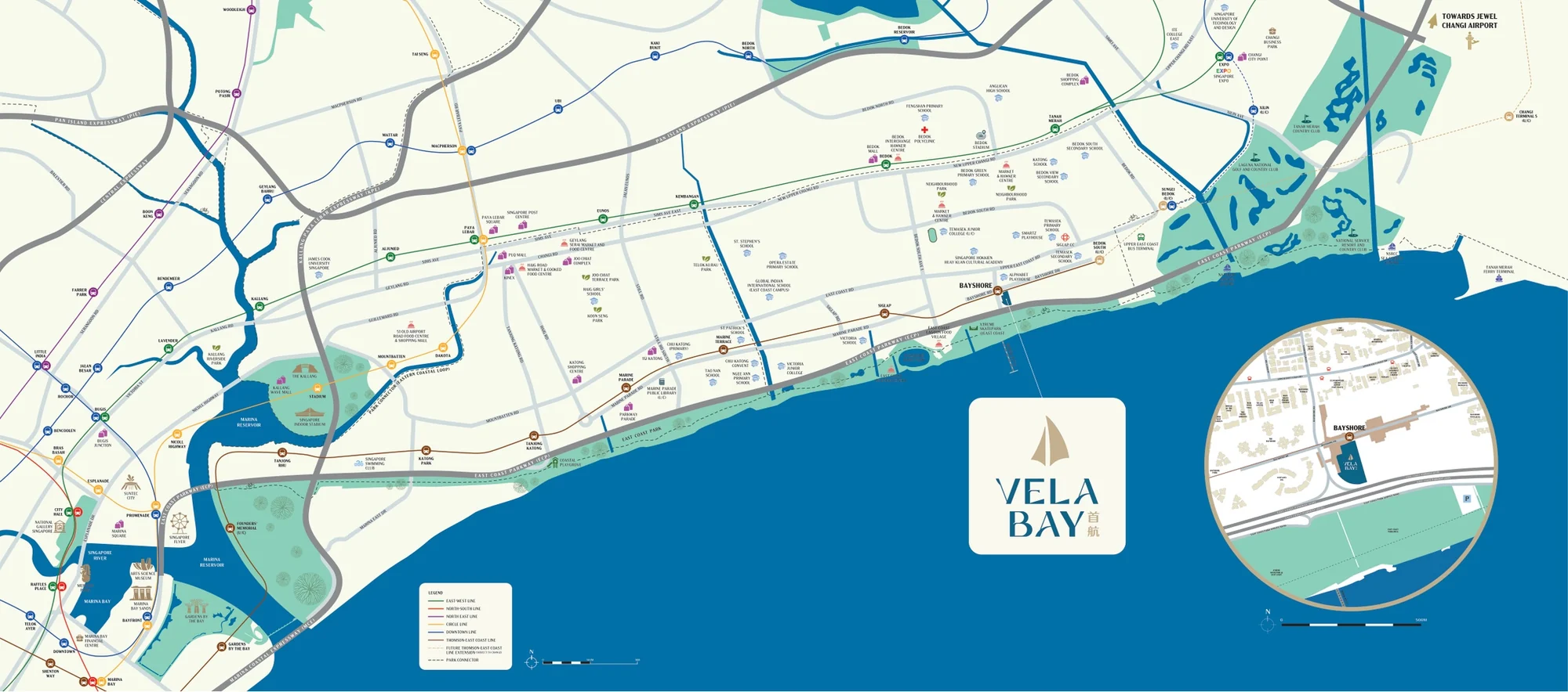
Vela Bay takes the land between Bayshore Road to the west, Bayshore Drive to the north, Bayshore Walk to the east and the East Coast Parkway to the south. Beyond the expressway, the green belt and beach of East Coast Park run along the shore; to the west lie the established condominiums of Costa Del Sol and The Bayshore; to the north, Upper East Coast Road leads to Bedok and Siglap.
The developer’s location map sets the site at the eastern end of the East Coast, between the city and Changi, with the Thomson-East Coast Line, the East-West Line, the expressways, the schools and the malls of the east around it. Its inset shows the towers beside Bayshore station.
Vela Bay Distances
The distances below are straight-line measurements from the site on OneMap; walking routes are longer. They show what lies within reach of Vela Bay: the MRT at the gate, the park and the sea across the road, the schools of Bedok South, and the malls and clubs of the East.
Within about one kilometre
| Destination | Straight-line distance |
|---|---|
| Bayshore MRT station, Exit 1 (TE29) | about 30 m |
| Bayshore MRT station, Exit 2 | about 70 m |
| Costa Del Sol | about 100 m |
| The Bayshore | about 160 m |
| Upper East Coast Road | about 320 m |
| East Coast Park, Area F | about 330 m |
| Bayshore Park | about 380 m |
| Bedok Jetty | about 630 m |
| Temasek Primary School | about 800 m |
| Temasek Secondary School | about 830 m |
| East Coast Lagoon Food Village | about 885 m |
| Bedok South MRT station (TE30) | about 1.0 km |
About one to eight kilometres
| Destination | Straight-line distance |
|---|---|
| Siglap MRT station, Exit 3 (TE28) | about 1.1 km |
| East Coast Seafood Centre | about 1.4 km |
| Upper East Coast Bus Terminal | about 1.4 km |
| Tanah Merah MRT station (EW4) | about 1.8 km |
| Bedok MRT station (EW5) | about 1.8 km |
| Bedok Mall | about 1.9 km |
| Siglap Centre | about 2.0 km |
| Singapore Expo | about 3.3 km |
| Changi City Point | about 3.4 km |
| Parkway Parade | about 4.2 km |
| Jewel Changi Airport | about 7.6 km |
Measured on OneMap (SLA) from the site. OneMap walking routes need an account and are not given here; walking and driving times quoted on this site are the developer’s brochure and briefing figures. Home-school distance for Primary One registration is determined by the Ministry of Education.
The neighbourhood around Vela Bay
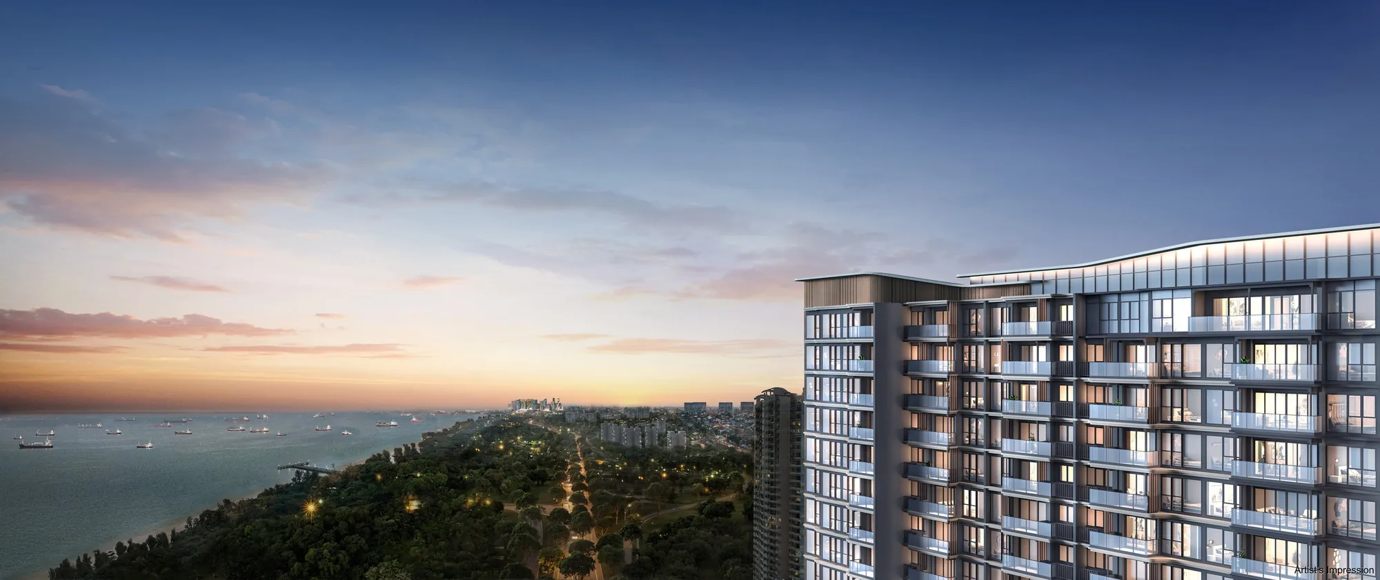
Bayshore has long been one of the quieter corners of the East Coast, a pocket of condominiums between the expressway and Upper East Coast Road. With the Thomson-East Coast Line now running through it, the area is being planned as a new seafront precinct with homes, parks and community facilities, and Vela Bay is its first private development.
Around it, the hawker stalls of East Coast Lagoon Food Village are under a kilometre away, Bedok Mall and Siglap Centre about two kilometres, and Changi Airport about seven kilometres.
Five area guides look further: Bayshore MRT and transport, East Coast Park, the Bayshore precinct, shopping and dining and schools nearby.
Request the Vela Bay Price List
Vela Bay is open for sale, and the Sales Concierge sends the current price list with the homes still available. Showflat viewings are arranged by appointment through the Sales Concierge.
Sent on request
- The current price list with the homes still available.
- The e-brochure and the floor plans you shortlist.
- A payment schedule and the stamp duty for your profile.
- A showflat appointment at a time that suits you.
Request the Price List
No obligation. The Sales Concierge responds personally to every enquiry.
Prefer to speak to someone? Call +65 6200 6220, or send a WhatsApp message to the same number.