
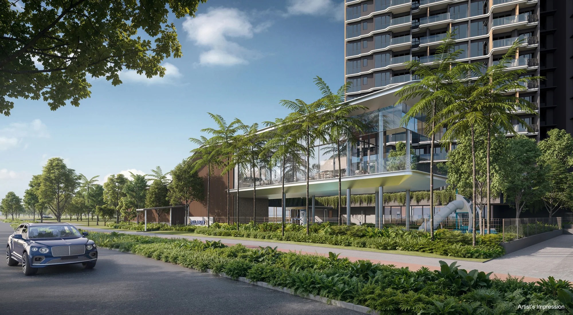
 Artist’s impression
Bayshore Station at the Gate of Vela Bay
Very close: Exit 1 of Bayshore station (TE29) is about 30 metres from Vela Bay in a straight line on OneMap, and Exit 2 about 70 metres. The developer’s briefing puts the station within about 100 metres of the development and about two minutes on foot, and its site plan marks Side Gate 2 as the gate to the MRT.
Bayshore station has three exits, and the station itself lies about 175 metres from the site. Of the development’s three side gates, one leads to Bayshore Walk, one to Bayshore Drive and one to the station, so a resident can walk from the lift lobby to the train without crossing a road. The walking time quoted here is the developer’s indicative figure; straight-line distances are shorter than any walking route.
| Station or stop | Straight line from the site |
|---|---|
| Bayshore MRT, Exit 1 (TE29) | about 30 m |
| Bayshore MRT, Exit 2 | about 70 m |
| Bayshore MRT station | about 175 m |
| Bedok South MRT station (TE30) | about 1.0 km |
| Siglap MRT, Exit 3 (TE28) | about 1.1 km |
| Upper East Coast Bus Terminal | about 1.4 km |
| Tanah Merah MRT station (EW4) | about 1.8 km |
| Bedok MRT station (EW5) | about 1.8 km |
| Sungei Bedok MRT station (TE31) | about 2.0 km |
Measured on OneMap (SLA) from the site; walking routes are longer.
Where the Thomson-East Coast Line Takes Residents of Vela Bay
From Bayshore, the Thomson-East Coast Line runs west along the coast through Siglap, Marine Terrace and Marine Parade, past Gardens by the Bay to Marina Bay and Shenton Way, then turns north through Orchard and Stevens to Woodlands. The financial district, the shopping belt of Orchard Road and Woodlands are therefore reached from Vela Bay on one line, without a change of train.
Eastward, Bedok South station (TE30) is about a kilometre from the site, and Sungei Bedok station about two kilometres away is where the line meets the Downtown Line. The developer’s brochure notes that the Thomson-East Coast Line will continue to Changi Airport, including the future Terminal 5, which would give residents a direct rail link to the airport.
One stop west, Siglap station (TE28) has its Exit 3 about 1.1 kilometres from the site, and from there the line continues through Marine Terrace and Marine Parade towards the city. The developer’s brochure describes Vela Bay as right at the doorstep of Bayshore station, and the development was planned around the station.
East-West Line Stations and Buses near Vela Bay
For the East-West Line, Tanah Merah (EW4) and Bedok (EW5) stations are each about 1.8 kilometres from the site. From Tanah Merah the East-West Line reaches Changi Airport and Singapore Expo, and Bedok station serves the Bedok town centre, with Paya Lebar and the city beyond; Bedok Mall is about 1.9 kilometres from the site.
Upper East Coast Bus Terminal is about 1.4 kilometres away, and Upper East Coast Road, about 320 metres north of the towers, leads to Bedok and Siglap. The Bayshore MRT and transport guide sets out every line and stop in more detail.
Driving from Vela Bay
The East Coast Parkway runs along the southern edge of the site, west to the city and east to the airport, and the Pan Island Expressway lies beyond Upper East Coast Road. The developer’s briefing gives Changi Airport as about 14 minutes by car and Marina Bay Sands about 15 minutes, and its brochure puts Changi Business Park about six minutes away and Suntec City about twelve. All of these are the developer’s indicative figures.
In a straight line, Changi Airport Terminal 3 is about 7.1 kilometres from the site and Jewel Changi Airport about 7.6 kilometres, which places Vela Bay between the city and the airport at the eastern end of the East Coast.
Cars arrive at a covered drop-off by the arrival lobby, where a lift runs down to the two basement car parks. The briefing provides 258 car park lots, including 4 with electric-vehicle charging, and 3 accessible lots.
Cycling and the Car-Lite Plan around Vela Bay
With 258 lots for 515 homes, Vela Bay has about one car park lot for every two homes, in keeping with the car-lite plan for the Bayshore precinct, and the briefing adds 129 bicycle lots. The developer’s brochure shows a park connector at the doorstep leading to East Coast Park.
The brochure describes the future Bayshore Central precinct as a car-lite seafront community along the Thomson-East Coast Line, with a central street of bus-priority lanes, shops and community facilities, and it notes plans for an integrated transport hub at Bedok South. SAFRA Bayshore, targeted to open in 2030 next to Bedok South station, is to be the largest SAFRA clubhouse, the brochure adds. The Vela Bay location page lists every distance, and the Bayshore precinct guide describes the plans around the site.
General information as at the date shown, not financial, legal or tax advice. Particulars of Vela Bay come from the developer’s published particulars, brochure, plans and agents’ briefing; statutory figures are those on this site’s financing pages, and distances are straight lines measured on OneMap. Sources: the developer’s brochure, site plan and agents’ briefing, and OneMap straight-line distances, as set out on this site’s location page and MRT and transport guide.
Ask the Sales Concierge about Vela Bay
The Sales Concierge sends the price list on request, the homes still available and the e-brochure for Vela Bay. Showflat viewings are arranged by appointment through the Sales Concierge.